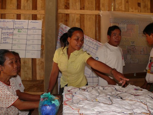
Center for International Forestry Research (CIFOR) has created a new tool for villagers and towns people to use while discussing land plans in the village. The 3D maps provides a visual tool that allows for all sides to show what is being planned for the land (whether their own land or village land), discuss or dispute, or make suggestions.
It's being praised as a tool that has increased stakeholder involvement and understanding about land use, demarcation, to negotiating and role playing.
Read more at:
http://blog.cifor.org/11443/with-3d-maps-villagers-able-to-see-benefits-of-good-land-use-planning/
No comments:
Post a Comment